FEMA Letter of Map Amendment
Flood Map Research and LOMA Application Service
FEMA Flood Insurance Rate Maps (FIRM)
- Floods occur naturally and can happen almost anywhere. They may not even be near a body of water, although river and coastal flooding are two of the most common types. Heavy rains, poor drainage, and even nearby construction projects can put you at risk for flood damage.
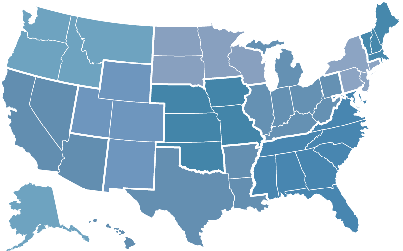
- The FEMA Flood Insurance Rate Maps show areas of high, moderate, and low flood risk as a series of zones. Each flood zone designation represented by a letter or letters, tells you what the risk is for flooding at your property.
- High-risk zones are called the Special Flood Hazard Areas (SFHAs) and begin with the letters “A” or “V.” Moderate- to low-risk zones, which are Non-Special Flood Hazard Areas (NSFHAs), begin with the letters “X”, “B” or “C.”
A FEMA FIRM shows how likely it is for an area to flood.
Any place with a 1% chance or higher chance of experiencing a flood each year is considered to have a high risk. Those areas have at least a one-in-four chance of flooding during a 30-year mortgage.

Understanding FEMA Flood Zones
Zone A
Description: This area is subject to flooding from the 1% annual chance flood (commonly called the “100-year flood”). Flood levels in Zone A are typically estimated using approximate methods.
Implications: Properties in Zone A usually require flood insurance due to the significant risk of flooding.
Zone X
Description: Zone X represents areas with minimal or moderate flood risk, generally located outside the 1% annual chance floodplain.
Implications: Flood insurance is not mandatory for Zone X properties, but homeowners are still encouraged to consider coverage since flooding can occur even in low-risk areas.
Other Common Zones:
Zone V
Description: Coastal areas at risk of flooding with additional hazards such as wave action.
Zone AE
Description: Similar to Zone A, but with base flood elevations provided for more precise flood risk assessment.

