FEMA Letter of Map Amendment
Flood Map Research and LOMA Application ServiceLiDAR LOMA
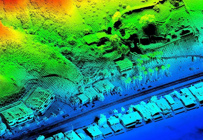
LiDAR, short for Light Detection and Ranging, is a remote sensing technology that operates on the principle of emitting laser pulses towards a target area and measuring the time it takes for the reflected light to return to the sensor.
This time-of-flight data combined with the known speed of light, allows the system to calculate the distance from the sensor to the target surface with remarkable precision.
- Letter of Map Amendment (LOMA) using LiDAR: A document issued by FEMA showing that an existing structure — that is on naturally high ground— would not be inundated by the base flood.
- LiDAR allows us to bypass a surveyor and elevation certificate. This saves the homeowner time and money.


