FEMA Letter of Map Amendment
Flood Map Research and LOMA Application ServiceUnlock the Power of LiDAR: Elevate Your Flood Risk Understanding!
Are you concerned about flooding in your area and wondering if you need to hire a surveyor and obtain an elevation certificate? We have built the perfect solution!
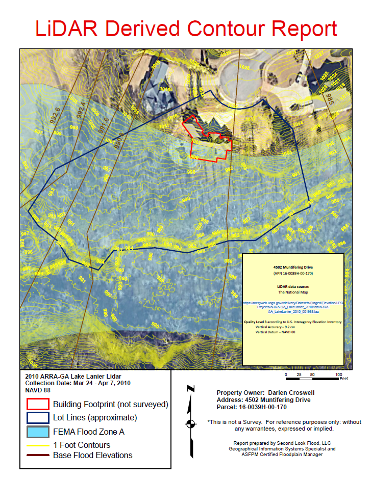
Introducing our comprehensive Contour Report, powered by advanced LiDAR technology. Here’s how it can benefit you:
Precision Mapping:
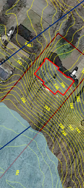
Our high-resolution LiDAR data allows us to generate accurate topographic maps of your property. We create detailed contour lines that reveal the elevation and slope of your land, helping you visualize potential flood risks.
Informed Decision-Making:
With our contour report, you can easily identify areas that may fall below the base flood elevation (BFE) and assess the risk of flooding. This crucial information empowers you to make educated decisions about hiring a surveyor.
Cost-Benefit Analysis:
We provide a clear comparison of the costs of hiring a surveyor against the potential savings on flood insurance. Our analysis helps you determine if obtaining an elevation certificate is truly worth the investment.
Expert Recommendations:
Not only will you receive a detailed report, but we’ll also offer tailored recommendations based on your specific situation, ensuring you know your best next steps.

Worried about flooding and whether you need a surveyor and an elevation certificate? Our LiDAR-powered Contour Report gives you the peace of mind you need.
Work directly with a ASFPM Certified Floodplain Manager.
Price: $49.95 (Delivered by email in under 24-hours)
Research by Second Look Flood, LLC | Contact us: Support@secondlookflood.com


